- Date: May 3, 1987
- Location: Samarai, PNG
- Subject: Two days in Samarai
Dear WaterFiary:
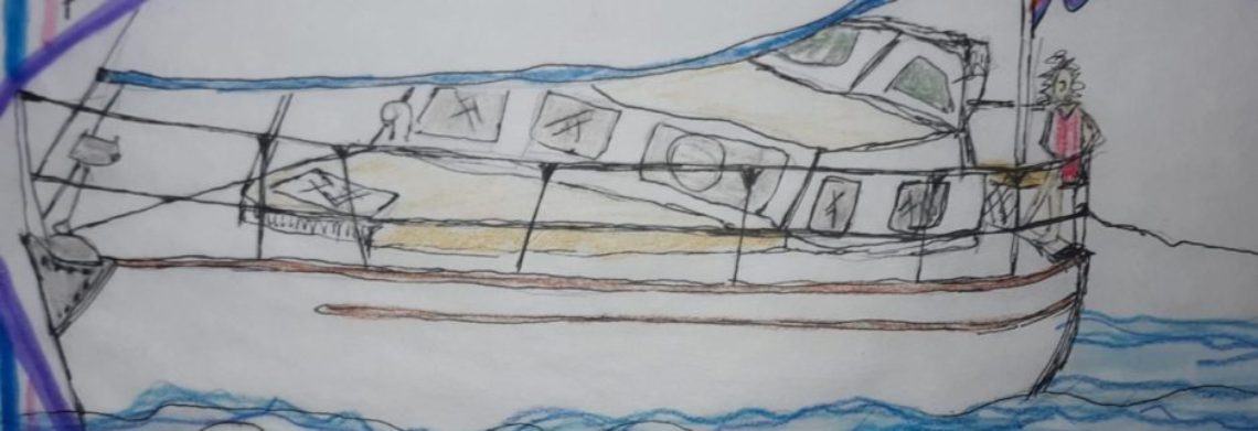
Not much to report. This is the end of our two days in Samarai. We have just been working hard to dry out Sacha-B and get her back into working order. Capt has been spending time with Ian, and trying to figure out how to get the autopilot to work again. I have been spending some time getting caught up with my school work, and reading, Mom is spending her time putting the laundry away.
Tonight, we had Ian and his wife Lisa on board for happy hour. Lisa is a native lady, and seems shy and does not speak much, even though Mom tried hard to ask her questions to start a conversation. Capt thought maybe she does not speak English often, so she is too shy to speak. Ian and Lisa have 5 kids and they live on a small island called Pearl Island, which is nearby. Ian invited us to anchor there for a few days, and check out the island, meet his family and explore the WWII wrecks. So we will go there tomorrow, once we finish our chores on Sacha-B. Capt said it will be good motivation to finish our chores, and it will be a short sail and fun to get away from the town. I thought that was funny, because Samarai does not seem like much of a town to me. We have plans to meet on the beach tomorrow night and have a beach party. Always fun, especially if there is going to be a campfire.

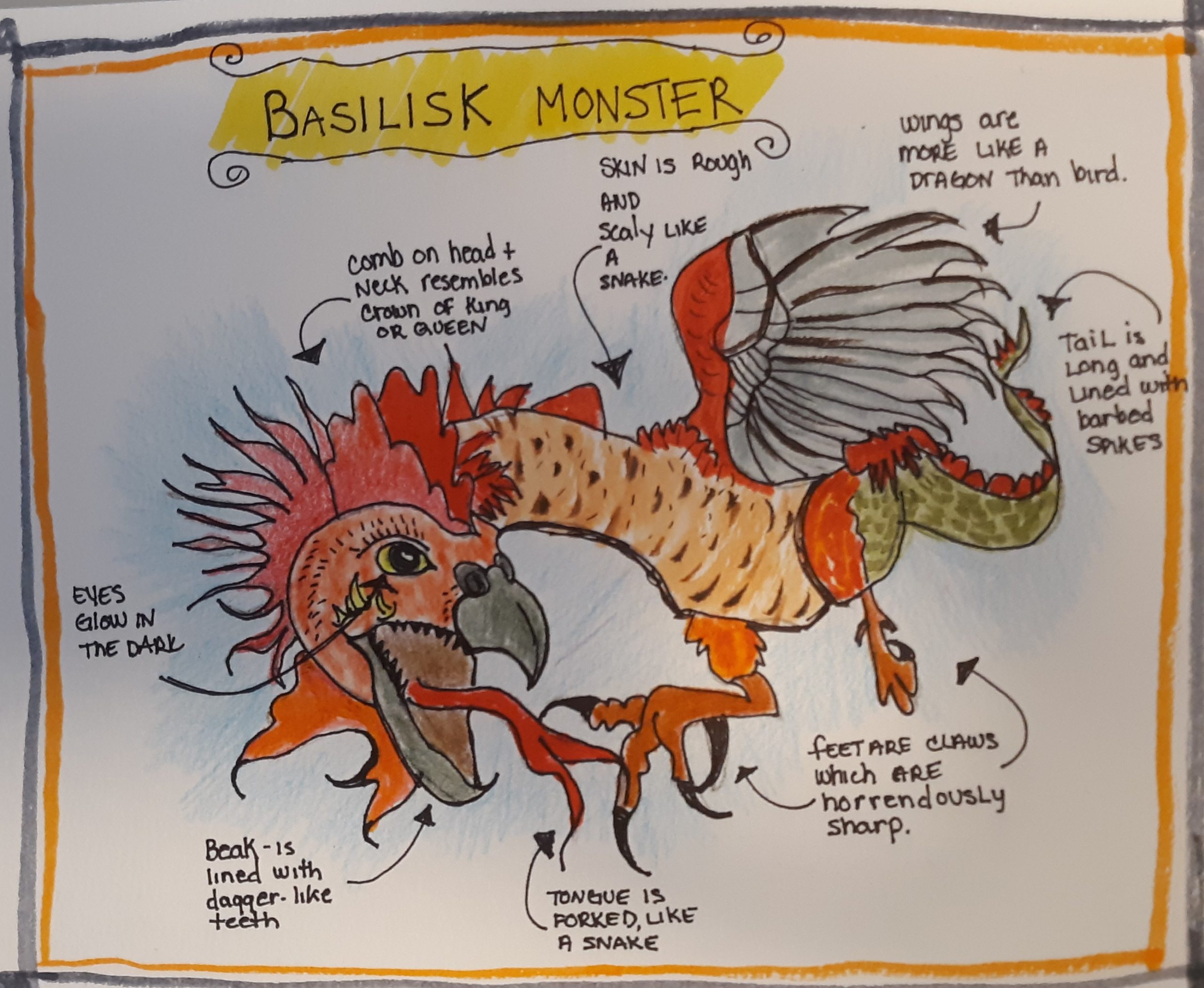
Ian was telling us a brief history of Samarai, and actually brought me a book of the local history so I could do a bit of background research on the area. Around 1870, a British guy named Captain Moresby was looking for a quicker route from Australia to China. The name of his boat was Basilisk. There are two cool things about this, and not a coincidence. 1. There is an island here named Basilisk, which I think we plan to go visit and 2. A basilisk is a Greek legendary mythical reptile who can cause death with a single glance. I guess that is a great name for a navy ship. Another cool thing Ian mentioned was Captain Moresby named Samaria “Dinner Island” because he had dinner there once. I wish I knew more about this story.
Around 1880s, a British trader and a group of local folks began making this area a trading post. They traded supplies to passing ships and also exported goods of the area, copra (the dried nut of the coconut), fruits and palm products. By the 1900, the British “took over” this area and ran their government from Samarai. By the 1940s Samarai was no longer the king of trading because most of the trading was happening in Port Moresby. Ian also said that Samarai was destroyed by the British during WWII, because at the time, the enemy was Japan and they were in the area, and the British and Australians did not want the Japanese to take it over. Ian also said he would give Capt a list of different WWII wrecks around that we could go visit at Pearl Island.
Here is a little bit of math and geography related to our sail, using latitude and longitude:
Cairns, Australia: 16° 55’ 13” S 145° 46’ 15”E
Samaria, Papua New Guinea: 10° 36’ 45” S 150° 39’ 53”E
So if we sailed directly north we would have gone 360 nautical miles or 414 regular miles, because we did not sail directly in a straight line we went diagonally east with a bit of zigzagging at the end. We roughly sailed 520 nautical miles or almost 600 miles. We were under sail for about 79 hours. We averaged about 6.5 knots per hour. That sounds like a fast sail, but remember we had the motor on most of the time.
Nautical mile = 6,076 feet
Mile = 5,280 feet
Tonight’s dinner was a huge salad with lots of veggies and boiled eggs. Some local kids came by and we bought a bunch of tomatoes, cucumbers from them for one kena. Our first purchase in PNG. They were delicious, and juicy.

